- Home
- Science
- Science News
- Nasa Turns to Crowdsourcing for Identifying Earth Images Clicked From Space
Nasa Turns to Crowdsourcing for Identifying Earth Images Clicked From Space

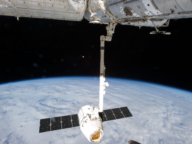
Taken mostly by the International Space Station (ISS), the photos are available in an online collection. Nasa has some 1.8 million images of the earth, including 1.3 million from the ISS.
Called the Image Detective Programme, people are being asked to identify particular towns and landmarks.
Hundreds of volunteers have already classified nearly 20,000 images, but these need to be confirmed by multiple people.
According to Nasa, this could help save energy, contribute to better human health and safety, and improve understanding of atmospheric chemistry.
Nasa's home page for the project is inviting entries:
Haven't you always wanted to associate those amazing photographs of our beautiful planet taken from space with their specific locations on the Earth? With the Image Detective web page, you can do just that! By doing so, you will help to locate hundreds of thousands of images and also enhance your geography skills at the same time. You can gauge how high your skill level is by accumulating points as you submit each image, then checking out the "Who Has High Score?" icon on the front page.
Users can pick identified images and tag them on the amount on cloud cover, and other features they are able to identify.
Nasa is offering rewards to those who identify the most images, in the form of a place in the high-score leaderboard and badges.
Written with inputs from IANS
Get your daily dose of tech news, reviews, and insights, in under 80 characters on Gadgets 360 Turbo. Connect with fellow tech lovers on our Forum. Follow us on X, Facebook, WhatsApp, Threads and Google News for instant updates. Catch all the action on our YouTube channel.
Related Stories
- Samsung Galaxy Unpacked 2026
- iPhone 17 Pro Max
- ChatGPT
- iOS 26
- Laptop Under 50000
- Smartwatch Under 10000
- Apple Vision Pro
- Oneplus 12
- OnePlus Nord CE 3 Lite 5G
- iPhone 13
- Xiaomi 14 Pro
- Oppo Find N3
- Tecno Spark Go (2023)
- Realme V30
- Best Phones Under 25000
- Samsung Galaxy S24 Series
- Cryptocurrency
- iQoo 12
- Samsung Galaxy S24 Ultra
- Giottus
- Samsung Galaxy Z Flip 5
- Apple 'Scary Fast'
- Housefull 5
- GoPro Hero 12 Black Review
- Invincible Season 2
- JioGlass
- HD Ready TV
- Latest Mobile Phones
- Compare Phones
- Tecno Pova Curve 2 5G
- Lava Yuva Star 3
- Honor X6d
- OPPO K14x 5G
- Samsung Galaxy F70e 5G
- iQOO 15 Ultra
- OPPO A6v 5G
- OPPO A6i+ 5G
- Asus Vivobook 16 (M1605NAQ)
- Asus Vivobook 15 (2026)
- Brave Ark 2-in-1
- Black Shark Gaming Tablet
- boAt Chrome Iris
- HMD Watch P1
- Haier H5E Series
- Acerpure Nitro Z Series 100-inch QLED TV
- Asus ROG Ally
- Nintendo Switch Lite
- Haier 1.6 Ton 5 Star Inverter Split AC (HSU19G-MZAID5BN-INV)
- Haier 1.6 Ton 5 Star Inverter Split AC (HSU19G-MZAIM5BN-INV)


![[Partner Content] OPPO Reno15 Series: AI Portrait Camera, Popout and First Compact Reno](https://www.gadgets360.com/static/mobile/images/spacer.png)


